Calico Tanks
2.5 mi round trip · moderate
Scrambly sandstone route that ends at a hidden water pocket with a Strip view.
Red Rock Canyon National Conservation Area sits minutes west of Summerlin — close enough that locals hike before breakfast. Here's how to do it right.
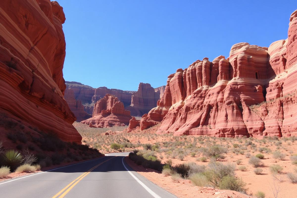
From October 1 through May 31, a timed-entry reservation is required to drive the 13-mile one-way Scenic Loop. Reserve on recreation.gov before you leave Summerlin, and book the earliest window you can stand — the light is better and the parking lots are empty. An entrance fee applies per vehicle; annual passes are accepted.
2.5 mi round trip · moderate
Scrambly sandstone route that ends at a hidden water pocket with a Strip view.
1–3 mi · easy to moderate
Closest to Summerlin and doable before work — bright red sandstone the whole way.
2.6 mi round trip · moderate
Shaded canyon walls and seasonal waterfalls after winter rain.
4.6 mi round trip · strenuous
The big climb, with a full valley panorama. Cool months and early starts only.
0.7 mi loop · easy
Best short walk with kids: petroglyphs, shade and a seasonal waterfall.
Hey — I'm Sunny, your Summerlin concierge. Ask me about Red Rock hikes, Downtown Summerlin dinners, villages to live in, or what to do tonight.